Caynham Village, Shropshire
Caynham Village Walks -
Approximate duration: 50-60 minutes allowing 15 minutes to explore Caynham Camp.
Number of stiles: 9; Distance: Approx 1.5 miles.
Feeling fit? This walk is well worth the gradual 300 foot climb is the route to the top of Caynham Camp with superb views of some of the hills and valleys of South Shropshire.
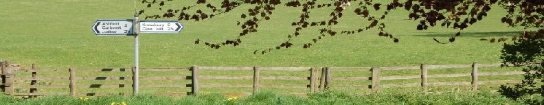
Park in the church lay-by and walk carefully along the road eastwards for about 170 yards to a stile in the left hand hedge. The official footpath runs perpendicular to the road up the hill. But this field is often in crop, so turn right and follow the field edge with the hedge on your right. Turn westwards and head for a wooden stile in a gap in the hedgerow directly ahead of you.
Cross the stile and immediately turn right in the field with the hedgerow on your right. Continue along the field edge to reach a wicket gate. Looking right you have an excellent view of Titterstone Clee rising to 533 metres and the second highest hill in Shropshire. Don't go through the gate but instead turn left to proceed across the field to another stile in the hedgerow opposite.
Cross the stile and continue in the same direction to another stile in the hedgerow (note this point (A) as you will be returning here later). Cross this and continue to a stile in the top right-hand corner of the next field. Go over the stile to cross a farm track (the field on your right is tantalisingly called Castle Field on the 1848 Tithe Map). Cross another stile to arrive at the main (in-turned) entrance through the ramparts of Caynham Camp. Look east to view Brown Clee, the highest point in Shropshire, rising to 540 metres. In the foreground of the field below you are the chambers of the pipeline connecting Birmingham to the Elan Valley reservoirs in Mid-Wales, constructed just over 100 years ago.
We now invite you to walk around the 8 acres or so of the 3,000 year old fort. There is a stile in the fence on the north side of the Camp where you will find an information board. (You may also have noticed some footpath signs with purple circles and if you are interested in a longer walk, directions for this route are available from the Ludlow Tourist Information office in the Assembly Rooms). The fort was occupied from about 900 B.C. until the Romans came to the area in 50/60 A.D. It was developed in four clear stages, and what you see is the final most imposing camp. The Romans dispersed these hill-fort settlements to prevent uprisings, and we know little about the camp in later Roman and medieval times.
As you come to the view of Ludlow, consider the Roundheads of 350 years ago standing watching Royalist Ludlow (they stored their munitions on the fort whilst besieging Ludlow). The distant views are: north to the Stretton Hills (Long Mynd "Pole Bank" is 517m and the third highest in Shropshire) and south-west to the Black Mountains and Brecon Beacons. The Malvern Hills are also prominent to the south-east.
Having explored the Camp, return to the main entrance and stop on the farm track to admire the view. Directly in front of you, in the valley, is Caynham Court, almost hidden by houses built in the grounds. You might almost notice a flat-roofed turkey hatchery, as close to Caynham Court as the houses.
Retrace your steps to point A. Cross the stile and immediately turn right with the hedge on your right. This footpath is also an old quarry track. Part of the way down this stretch on the right find the impressively large quarry. Limestone was taken from this hill perhaps one thousand years ago for building and later for fertiliser and industries. At the lower end of the quarry note the Victorian reservoir supplying water to Caynham Court and houses close to it.
Bear right through a gateway and left to continue down the hill to another gateway in the fence. Continue 60 yards to a gate on the left. Go through and walk half right towards the church. Were there traces of a circular churchyard? There was a "Cayhome Castle" referred to in the wars of Stephen and Matilda; can you see any possible sites for this building? Enter the churchyard through a kissing-gate in the north-west corner. Feel free to explore the churchyard before returning to your car in the lay-by.